Window >> Markers toolbar >> Place relative Z marker
OR
Project Manager >> Markers (right click) >> Place relative Z marker
OR
Tools >> Markers >> Height

The relative Z marker allows you to measure the height between two points, so it is very useful for measuring the height of the building. Markers can be saved to the following formats: *.kml, *.shp, *.txt, *.xyz.
Note: You can add markers if at least one point cloud is loaded in the application.
When starting the function, a window with relative height of the marker appears. In addition, you can define a group to which the marker will be assigned in the Project Manager tree. After the export of markers, their heights are saved in the form of label.

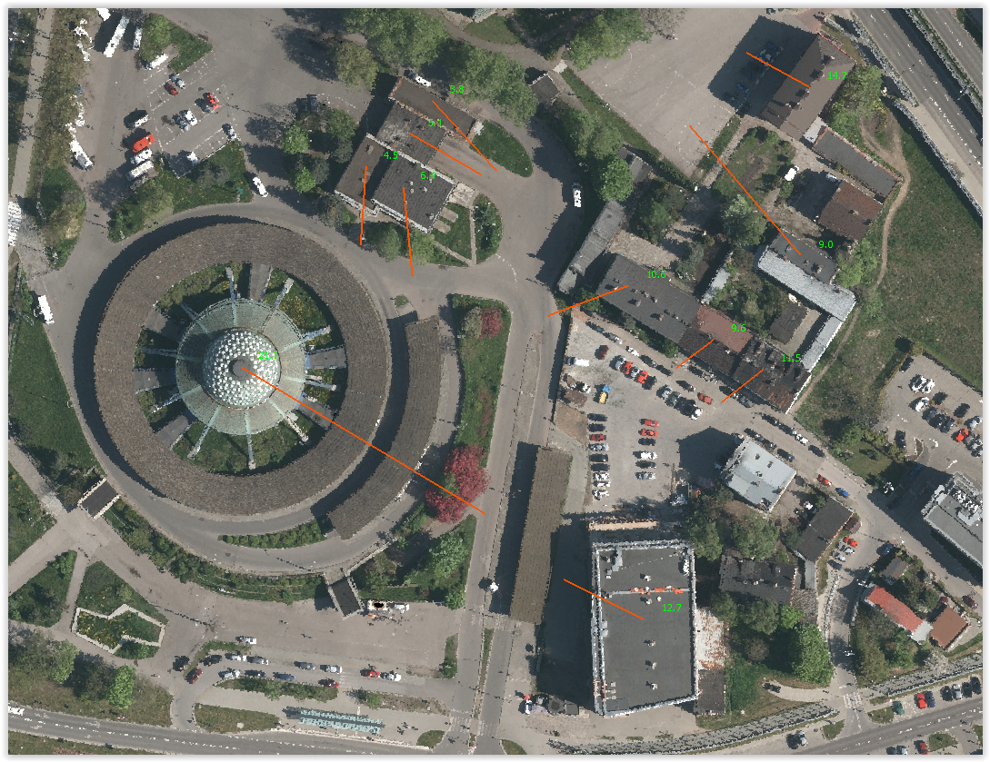
Relative height markers in the LiMON Viewer program
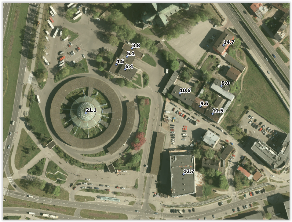
Relative height markers in external GIS software with an orthophotomap display
Note: To increase the accuracy of indicating markers, enable snapping option.
Hotkey: Markers.RelativeZ